About Us
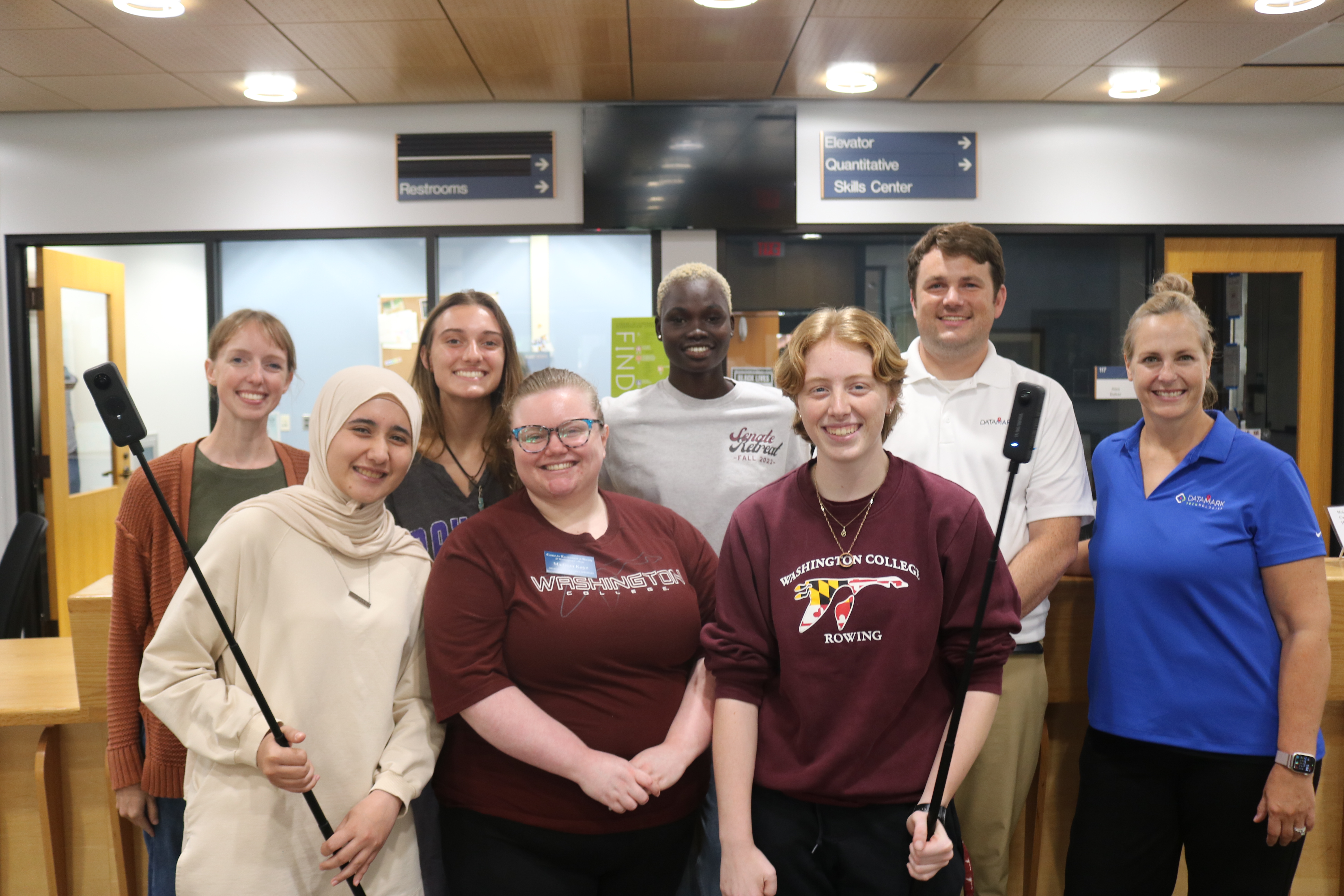
The Washington College Geospatial Innovation Program (GIP) was established in 2003 to provide innovative geospatial solutions for our partners, while creating experiential learning opportunities for our students.
Since then, our projects have supported more than 70 million people across four states and two countries, and we've secured millions of dollars in external funding to keep innovating. More than 800 students have participated in our program, building valuable technical skills, gaining real-world experience, and launching careers in GIS, data science, environmental planning, and more.
Mapping Our Future
Our mission is to innovate solutions and advance geospatial literacy through research, operational learning, and community engagement.
Our vision is to foster geospatial perspectives and drive innovation in support of spatially enabled communities.
Our I-RISE values guide all of our work:
- Innovation: Driving forward-thinking solutions with cutting-edge technologies
- Responsibility: Upholding ethical, sustainable, and inclusive practices.
- Impact: Creating meaningful change through collaboration.
- Skillfulness: Striving for excellence in training and professional development.
- Empowerment: Encouraging lifelong learning and informed decision-making.
Strategic Goals
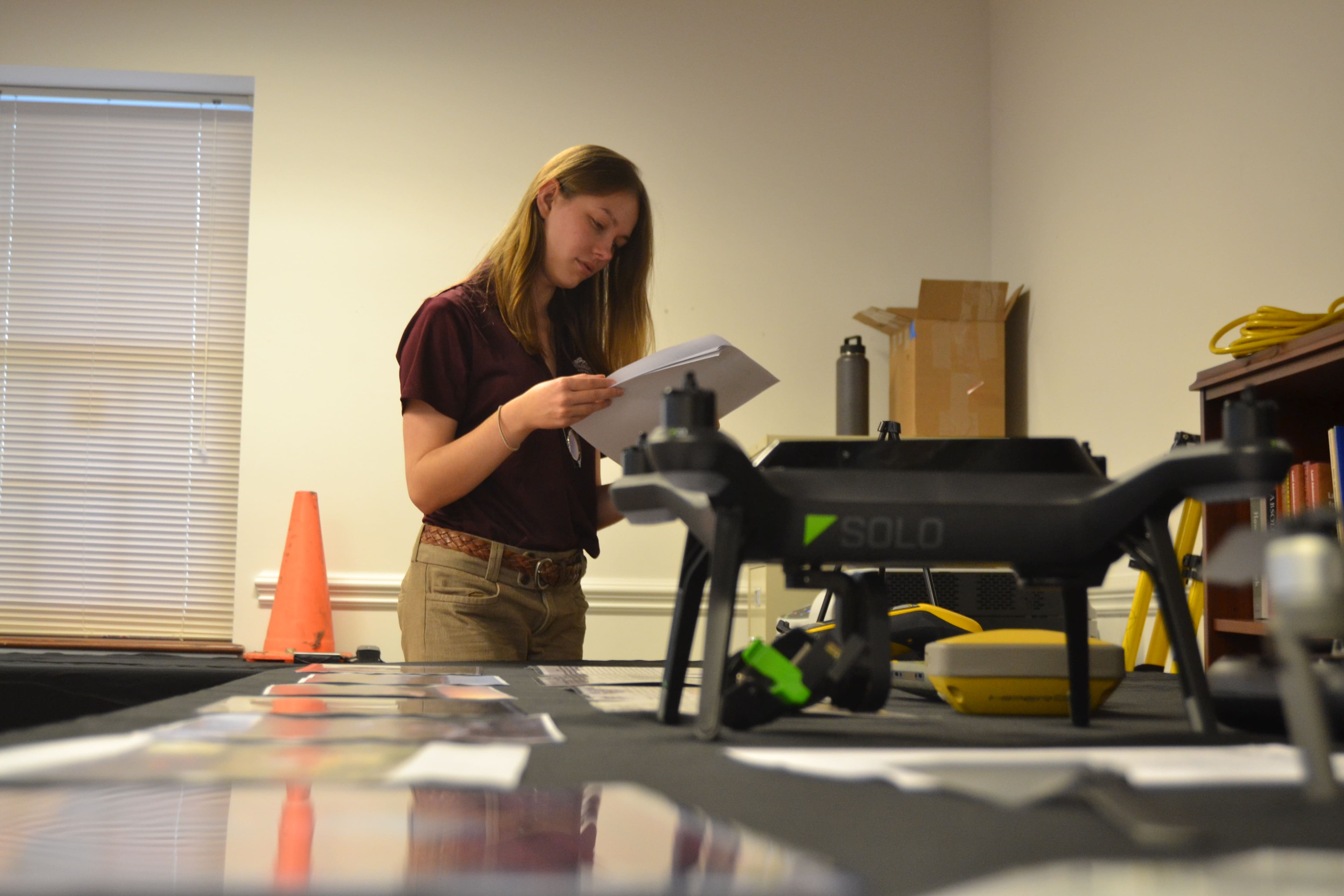
Cultivate a talented and unified team
We invest in people, promoting growth through mentorship, innovation, and meaningful collaboration.
- Build a team culture that is rooted in creativity, purpose, and shared success.
- Empower team members to grow through well-defined opportunities for career advancement.
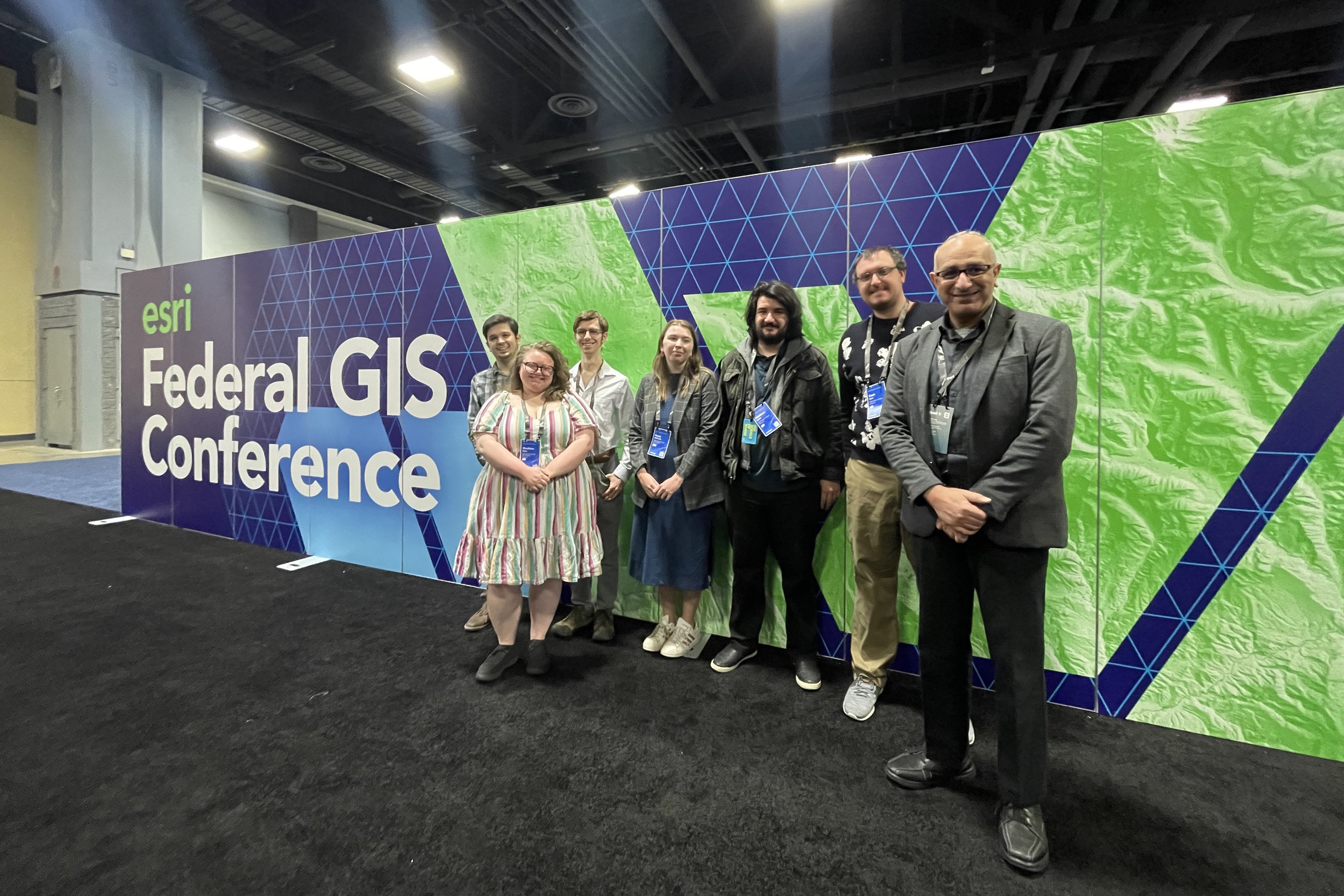
Elevate education and partnerships
We develop innovative programs that stay ahead of emerging geospatial technologies and how they're used across industries and communities.
- Deliver high-impact services that meet the needs of our clients and partners.
- Strengthen collaborations with industry, government, and community organizations.
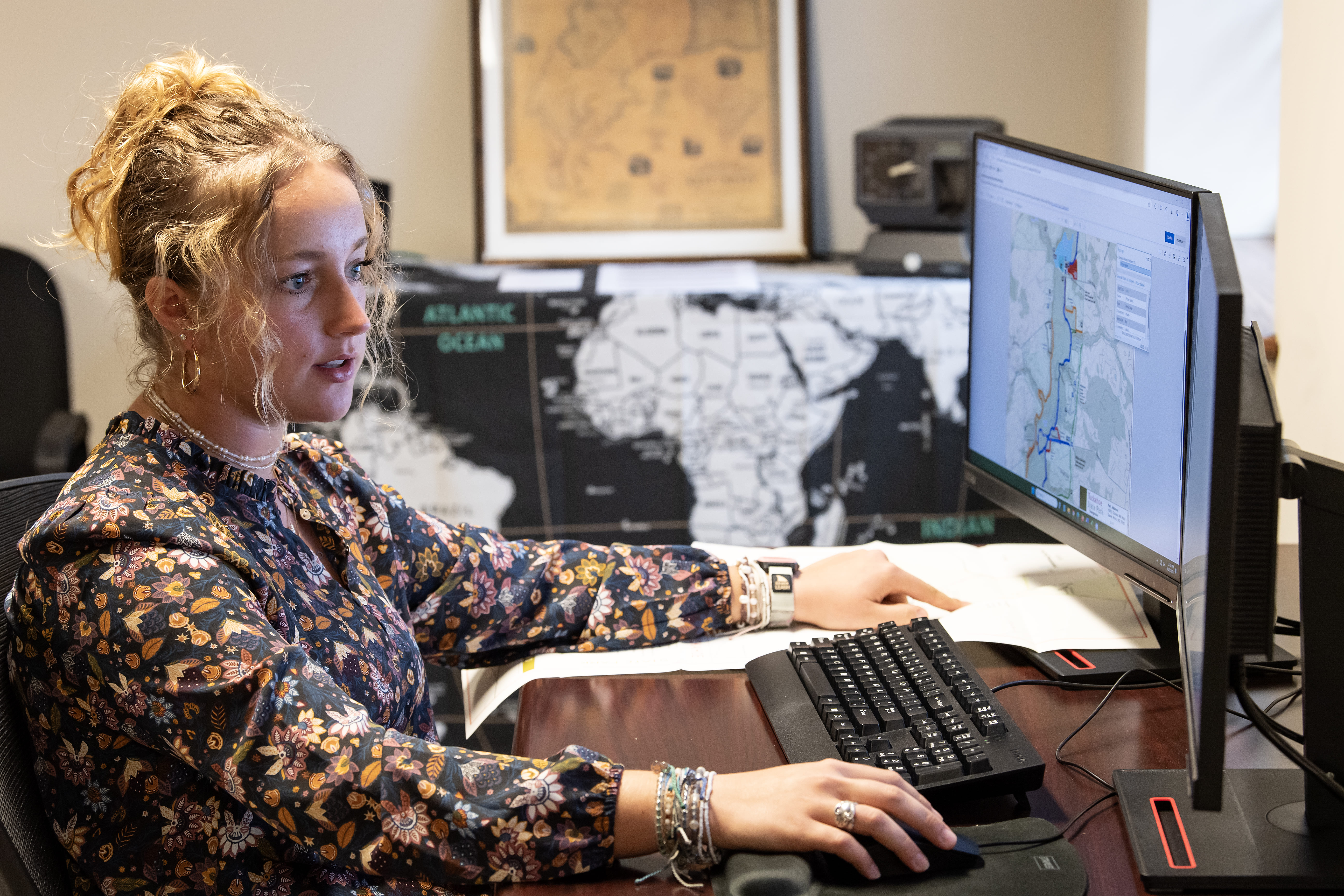
Deepen Community Impact
We harness cutting-edge geospatial tools to help communities tackle local priorities and create meaningful, lasting impact.
- Cultivate lasting partnerships that support community needs.
- Expand the reach and relevance of spatial thinking and GIS solutions in our local and regional communities.